GGmap: geom_polygon | ggplot examples
主要参考: https://blog.csdn.net/kMD8d5R/article/details/86582019
|
快速上手
|
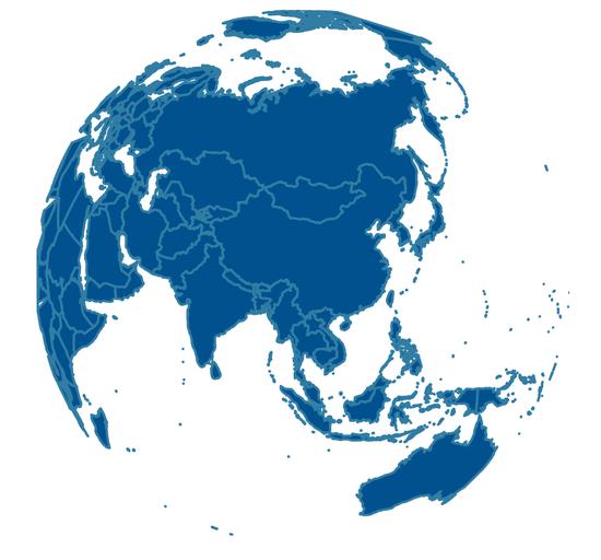
原理
|
动画
1. gganimate
gganimate 只能画平面图的动画,不能画球状以后的动画
gps.txt
随便测试一下
|
2.多 png 转 gif
先画出一系列的png,在叠加成gif
|
各种杂耍
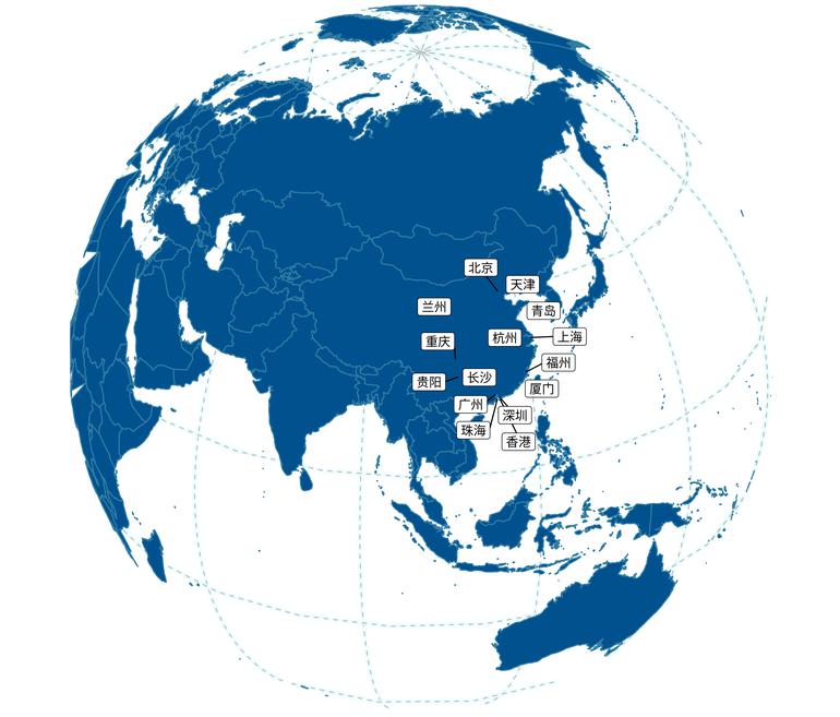
加上经纬线
[经纬线函数链接](https://www.yuque.com/liuwenkan/bni63i/bwkcrz#rlfqy)/
|
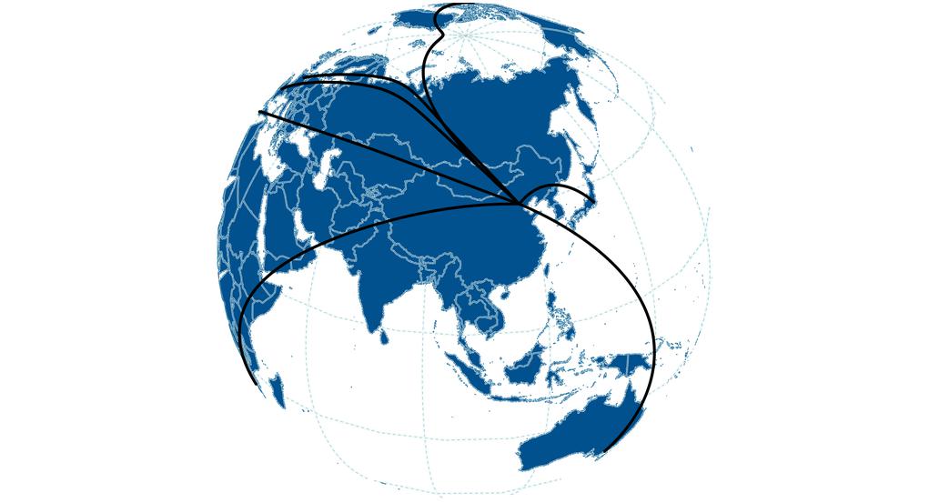
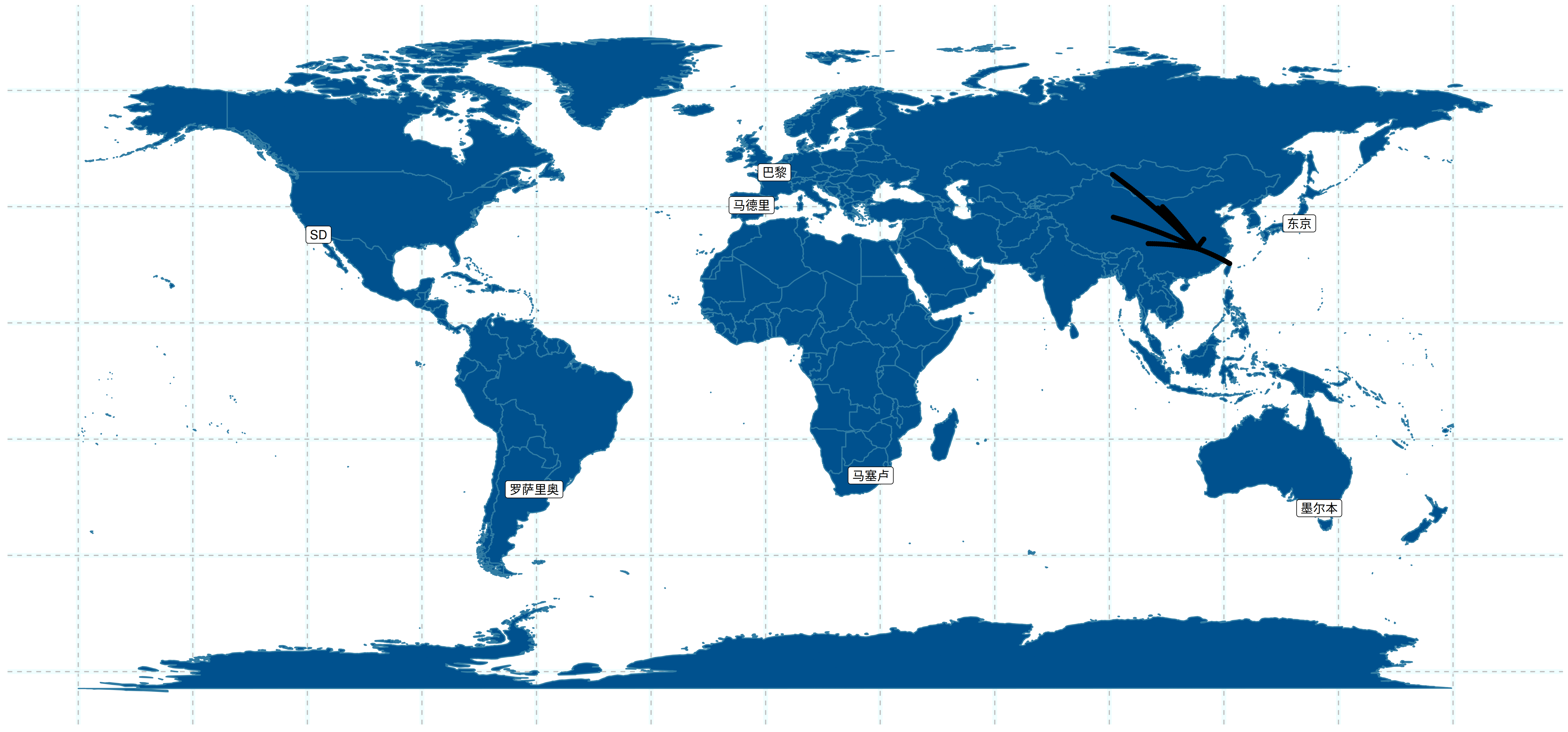
链接两点
这里用到Connet函数,详见“曲线链接两点”
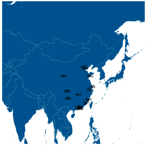
创建地点
|
|
More
GGmap: geom_map
geom_sf
GGmap: geom_polygon | ggplot examples